Stunning satellite video shows Hurricane Sandy from birth to landfall
posted Wednesday, October 31, 2012 at 11:08 AM EDT
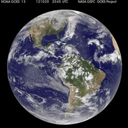
NASA/NOAA's GOES satellites have done a spectacular job of capturing shots of of Hurricane Sandy from space. Now here's a stunning video that puts many of those images together in an animated time-lapse showing the inception and path of Sandy from water to landfall.
The animation was created with shots from NOAA's GOES-13 and GOES-15 satellites from October 21-30, 2012, showing the birth of Sandy in the Caribbean Sea, its intensification as it moved toward the East Coast, and its landfall in New Jersey on October 29th and then inland trail to Pennsylvania.
(Via NASA via Photoxels)
(Also check out these powerful images of devastation from the storm and these shots of New York City emptied only hours before the hurricane hit.)