No drones allowed: NPS preps countrywide ban on unmanned aerial vehicle flight in national parks
posted Monday, June 23, 2014 at 2:27 PM EDT
Last month, we reported on news that the National Park Service had banned drones from Yosemite National Park, citing an existing regulation it felt made unmanned aerial vehicle operations illegal. While we questioned the legal basis for the statement at the time, banning multicopters and other radio-controlled aircraft from national parks actually strikes us as a good thing, given that the intent of the park system is to set aside areas where nature thrives and mankind's impact is at least somewhat more limited. The majority of comments on our article seemed to be in agreement.
Bearing that in mind, it seems more good news is on the way: The National Park Service is preparing for a near-complete ban on unmanned aerial vehicle use at any of its parks and waterways, according to a recent Reuters article. Hobbyist clubs which already have permission to operate UAVs in certain parks would have protection grandfathered in, according to NPS guidelines, and permits could still be granted for commercial use, research, search and rescue operations, or firefighting. Beyond any existing agreements with clubs, though, the general public would not be allowed to fly radio-controlled vehicles from (or over) any of the park system's 131,250 square miles of parks and waterways, and nor would commercial use be possible without first obtaining a permit.
Of course, the regulations have yet to be written, and it will be even longer until a system-wide ban on drone use arrives. According to Reuters, superintendents at each of the 401 parks comprising the national park system will each need to draft their own regulations for the time being, until the National Park Service issues its own proposed regulations in about 18 months time.
What say you, park fans? Are you pleased to hear of the initiative to ban drone use from parks almost entirely across the nation, or would you prefer to see some areas set aside as a compromise? Discuss in the comments below...
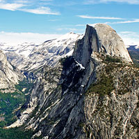
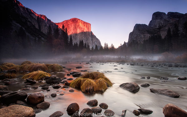
(via Petapixel. All images sourced from Flickr and used under a Creative Commons CC BY 2.0 license, with cropping / resizing and tweaks to color/contrast. Glacier Point image courtesy of Dimitry B.; Valley view image courtesy of Boqiang Liao.)