Forget where that photo was captured? Pic2Map can help remind you
posted Monday, June 15, 2015 at 9:35 AM EDT

Many photo editing applications now have a built-in function for locating your geotagged images on a map. However, if your post-processing software doesn’t do it and you’re still wondering where the image was taken, Pic2Map is your one-stop shot for figuring where exactly it was captured.
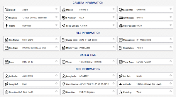
In its own words, Pic2Map ‘is an online EXIF data viewer with GPS support which allows you to locate and view your photos on Google Maps™.’ Even if the image you’ve uploaded is lacking geotagged EXIF data, Pic2Map will still display all included EXIF data, making it a solid option for checking out EXIF data on the fly.
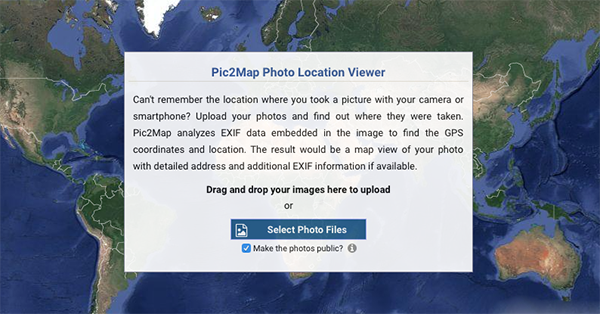
It’s worth pointing out that making your photos public is selected by default when uploading an image. This simply means your photos can be used in the ‘Recently Featured Photos’ and ‘Random Location’ features of Pic2Maps. But if you’d rather not make them visible, you can simply uncheck the checkbox.
Pic2Map isn’t the first service of its kind, but its simplicity and rich Google Maps integration makes it a solid choice. Head over to Pic2Map to try it out and bookmark it for the next time you can’t remember exactly where that smartphone photo was taken.